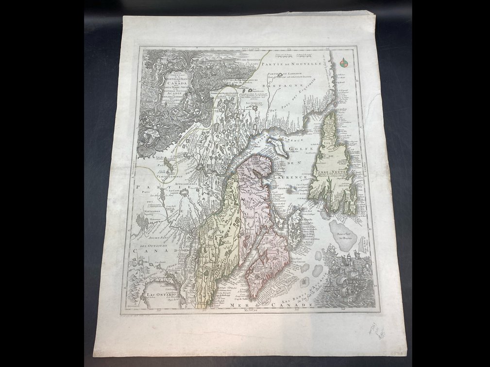
#6 • 18th c Canadian Map
Part of March 17th, 2026 Maps & Atlas Books (timed auction by Green Valley Auctions)
High bid $360.00
Status: SOLD
Circa 1756. Depicts the “New France” portion of Canada. Published by Tobias Conrad Lotter of Germany. Colored sections. Professionally reinforced by Japon paper. 28.5” H. 23” L.