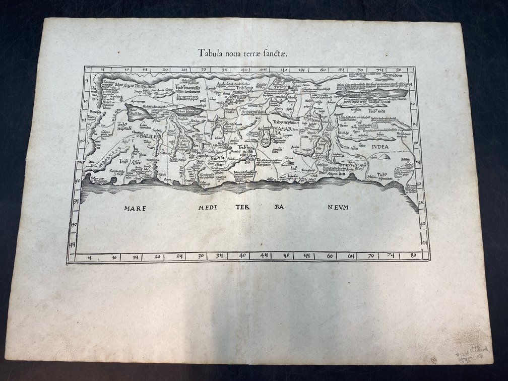
#11 • 16th c Holy Land Map
Part of March 17th, 2026 Maps & Atlas Books (timed auction by Green Valley Auctions)
High bid $402.00
Status: SOLD
Published circa 1541. “Tabula nova terrae Sanctae” (New Map of the Holy Land.) Made by Waldseemüller/Fries. Shows ancient Palestine divided into regions for the 12 tribes. Good condition, a few small wormhole repairs expertly repaired. 16” H, 21” L.