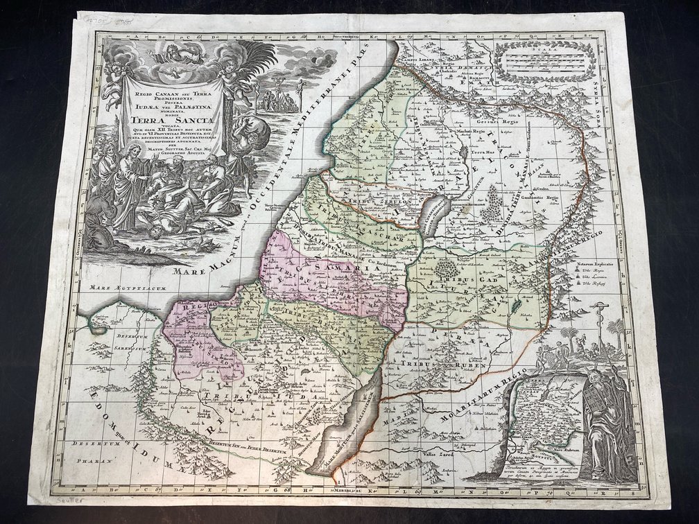
#53 • 18th c Map/Chart of Holy Land
Part of March 17th, 2026 Maps & Atlas Books (timed auction by Green Valley Auctions)
High bid $227.00
Status: SOLD
“Regio Canaan Seu Terra Promissionis. Postea Judaea Vel Palaestina Nominata, Hodie Terra Sancta...Quae Olim XII Tribus...in VI Provincias Distincta…” by GM Seutter. Nuremberg: Seutter, circa 1725. Very good, per consigner, early hand coloring of this striking copperplate. The cartouche, with cherubim, Christ performing miracles, the crucifixion (beneath a solar eclipse) and other allegorical material is in B&W as issued. 21” H, 24.5” L.