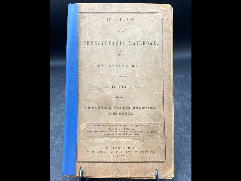
#67 • Antebellum Pennsylvania Railroad Map
Part of March 17th, 2026 Maps & Atlas Books (timed auction by Green Valley Auctions)
High bid $89.00
Status: SOLD
“Map of the Pennsylvania Rail Road, from Harrisburg to Pittsburg; and of the Columbia & Lancaster & Harrisburg R.R.s from Philadelphia to Harrisburg.” Philadelphia: T.K. and P.G. Collins, Printers, 1855. Map with folds as issued, original hand coloring, with a couple of chips at edges but overall in very good condition, per consigner. The long, folding image measures roughly 8” x 70”. In the original stiff paper covers (9” x 6”), titled "Guide for the Pennsylvania Railroad with an Extensive Map; including the Entire Route, with all its Windings, Objects of Interest, and Information Useful to the Traveller." Cover taped at spine. One of the earliest regional railroad brochures of the region, per consigner.