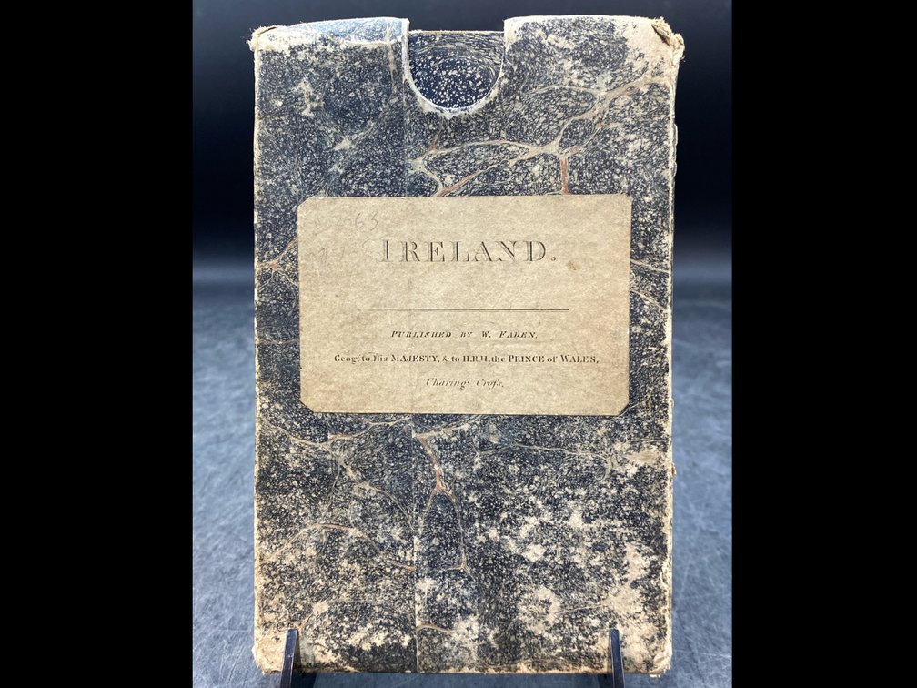
#70 • 1798 Paneled Ireland Map
Part of March 17th, 2026 Maps & Atlas Books (timed auction by Green Valley Auctions)
High bid $322.00
Status: SOLD
“A Map of Ireland Divided Into Provinces and Counties, Showing the Great and Cross Roads with the Distances of the Principal Towns from Dublin” by William Faden. London (Charing Cross, Septr 17, 1798): W. Faden, 1798. Twenty panel linen-backed map, the full image measuring 28” x 21” with early hand colored outlines in very good condition. The original paper case is present, though scuffed and chipped at edges, but with the original cover and spine labels present and legible.