#122 • Antebellum New York Pocket Map
Part of March 17th, 2026 Maps & Atlas Books (timed auction by Green Valley Auctions)
High bid $47.00
Status: SOLD
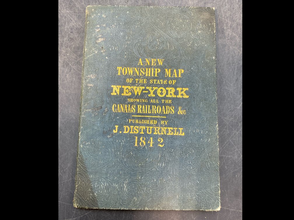
“Map of the State of New York Showing the Boundaries of Counties & Townships. Cities, Towns and Villages: The Course of Rail Roads, Canals, Stage Roads” by J. Calvin Smith. New York: J Disturnell, 1842. VG, per consigner, folding pocket map, minimal browning and foxing, minor repairs and wear at folds, on thin paper with original hand coloring. In original dark green gilt-lettered boards (scuffed, rubbed, but intact.) Map image: 19” x 24”, folding into 5.5” x 3.75” boards.