#149 • 18th c Holy Land Maps
Part of March 17th, 2026 Maps & Atlas Books (timed auction by Green Valley Auctions)
High bid $47.00
Status: SOLD
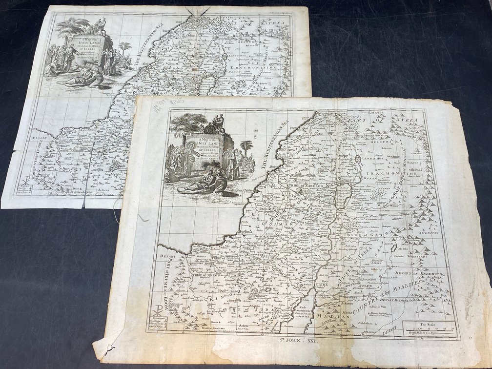
Lot of two. “A Map of the Holy Land Divided int the XII Tribes of Israel…” by Richard Ware. Circa 1726. G-, per consigner, as in need of some repair with crease tear at lower right (minimal image loss), several smaller marginal tears (only one marginally affecting image) and “A Map of the Holy Land Divided Into the XII Tribes of Israel…” For M. Cooper, at the Globe, in Pater-noster-row, 1753 (from Blome’s “The History of the Holy Bible…”.) A copperplate map, b&w as issued, with browning staining and extra creases from early misfolding into book. Both with decorative cartouches. Both approximately 14” H, 16.5” L.