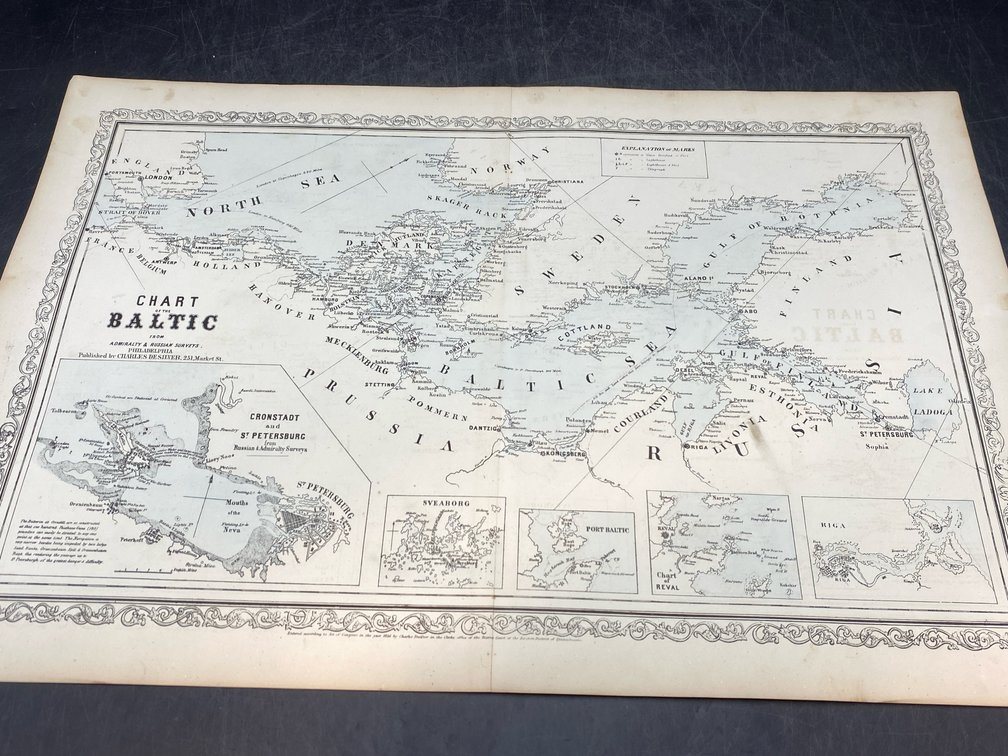
#177 • 1850s Baltic Chart
Part of March 17th, 2026 Maps & Atlas Books (timed auction by Green Valley Auctions)
High bid $54.00
Status: SOLD
“Chart of the Baltic from Admiralty & Russian Surveys.” Philadelphia: Charles Desilver, 1856. Very good, per consigner, lithographed map in original dual-tone color. Decorative border, with image measuring 14.75” x 23.5”, and multiple insets. Minimal browning at margins, centerfold as issued, from Desilver's "A New Universal Atlas."