#255 • Hudson River Maps and Report
Part of March 17th, 2026 Maps & Atlas Books (timed auction by Green Valley Auctions)
High bid $12.00
Status: SOLD
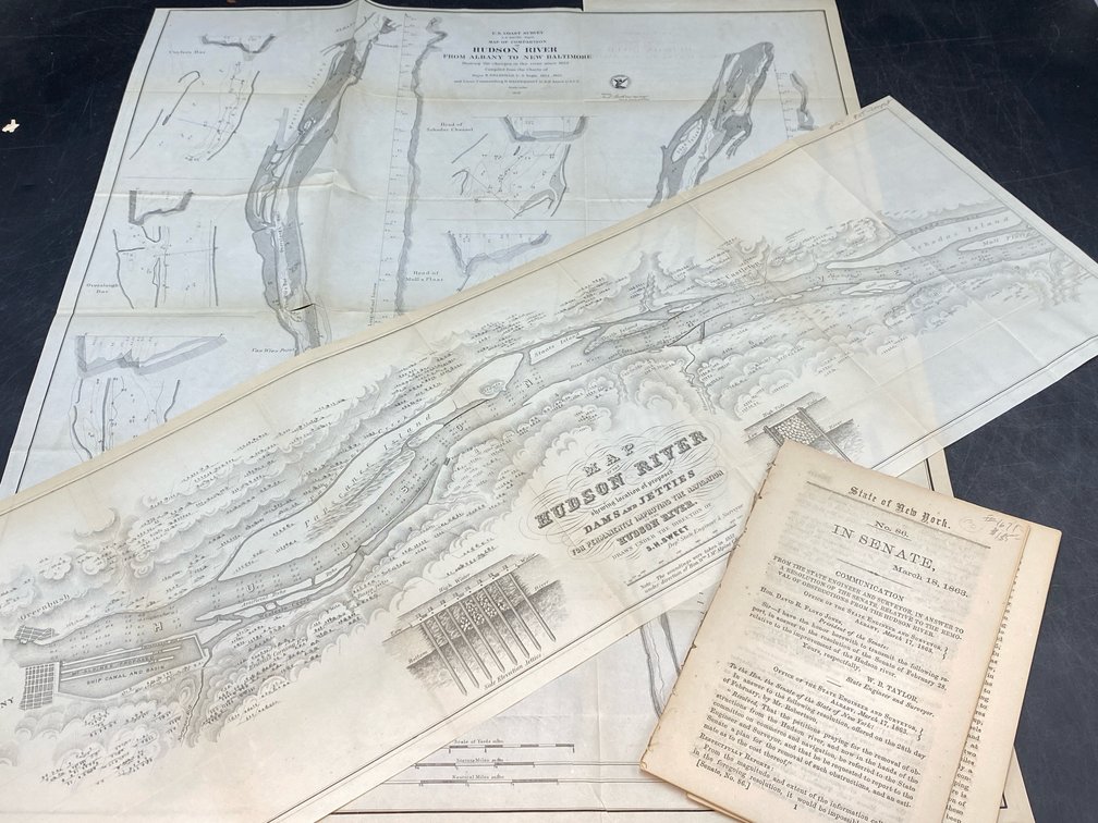
Two map set. “Map of Comparison of Hudson River from Albany to New Baltimore...1856” and “Map of the Hudson River Showing the Location of Proposed Dams and Jetties” Albany: State of New York, 1863. Near fine, B&W as issued. The first map was by Bache, the second by Sweet. These were prepared and included in a senate report (submitted by W. B. Taylor, State Engineer and Surveyor) dealing with proposals to remove obstructions from the Hudson River. The original text is included, with reports from Bache (earlier) and Sweet. Second map image: 9.5” H, 29” L.