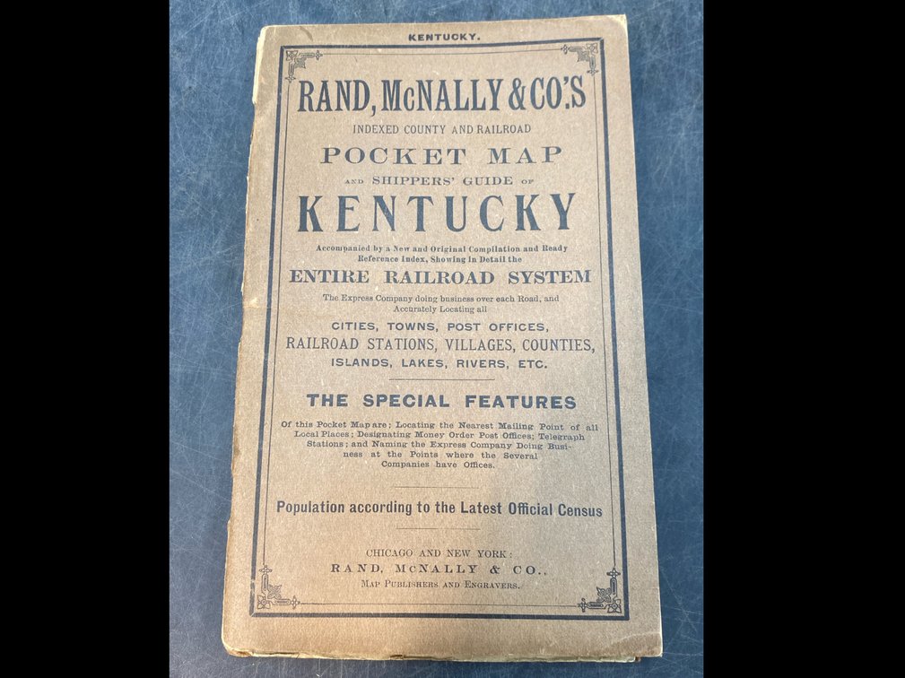
#280 • Early 20th c Kentucky Map
Part of March 17th, 2026 Maps & Atlas Books (timed auction by Green Valley Auctions)
High bid $12.00
Status: SOLD
“Rand, McNally & Co.'s Indexed County and Railroad Pocket Map and Shippers' Guide of Kentucky...Showing in Detail the Entire Railroad System.” Chicago: Rand McNally & Co, 1904. Near fine, large folding map with original printed color. The soft covered booklet (6.5” x 4.25”) is intact with covers separated at spine. Map image: 16.5” x 36”.