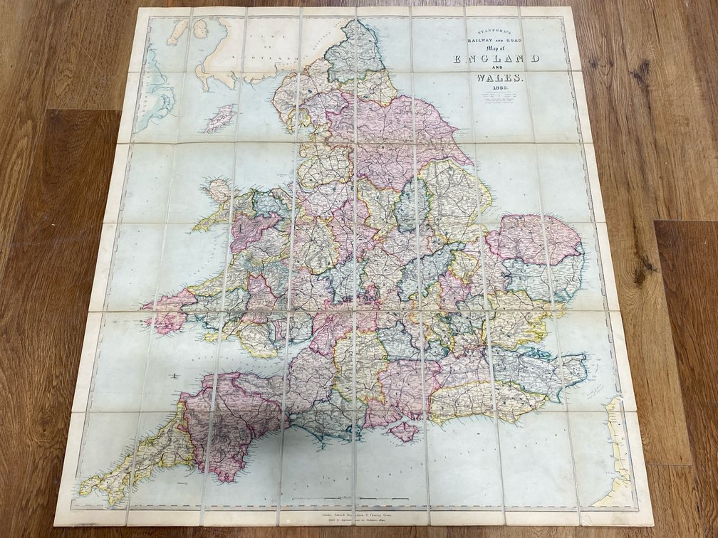
#300 • 1860s England and Wales Linen-Backed Map
Part of March 17th, 2026 Maps & Atlas Books (timed auction by Green Valley Auctions)
High bid $221.00
Status: SOLD
“Stanford's Railway and Road Map of England and Wales 1865.” London: Edward Stanford, 1865. VG+, 48-panel folding linen-backed map with original hand coloring. Folded into red cloth case with gilt lettering (short separations at upper sides of case, but generally sound). Measures 36” x 31.5”.