#310 • 19th c European Country Maps
Part of March 17th, 2026 Maps & Atlas Books (timed auction by Green Valley Auctions)
High bid $100.00
Status: SOLD
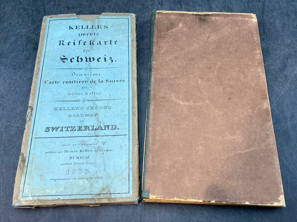
Lot of two. “Keller's Zwente Reisekarte Der Schweiz. Deuxieme Carte Routiere De La Suisse...1833” (Keller's Second Roadmap of Switzerland) Zurich: Henri Keller, 1836. VG, minimal browning, few panels loose. Image: 21” x 25.5”.Original labelled boards scuffed and stained, chipping, but intact with original label. (Case: 8.5” x 4.5”); “A New Map of Greece, Constructed Chiefly from Original Materials, in Which it Has Been Attempted to Improve the Ancient and Modern Geography of That Country” London: James Wyld, 1827. VG, with minimal browning and original outline color for this 24 panel folding (label missing) linen-backed map with image measuring 36” x 24”.