#311 • 20th c Oceania Maps
Part of March 17th, 2026 Maps & Atlas Books (timed auction by Green Valley Auctions)
High bid $46.00
Status: SOLD
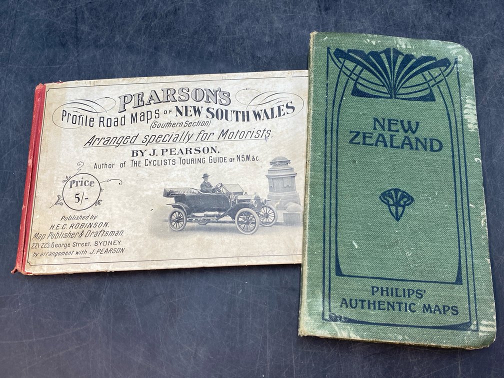
Lot of two. “Dominion of New Zealand.” London: George Philip & Son, circa 1900. Linen-backed folding map, with boards a bit rubbed, and spine slightly frayed, but the interior multi-panelled map is in excellent condition with original coloring. Image: 24” x 19”, boards: 7.5” x 4”; “Pearson's Profile Road Maps of New South Wales (Southern Section) Arranged Specially for Motorists” by J. Pearson. Sydney: H. E. C. Robinson, circa 1915. Oblong booklet (5” x 7.5”; pictorial cloth boards a bit scuffed, browned and rubbed), with 31 route maps (several with 2 sheets) in b&w, with a full index of towns and localities.