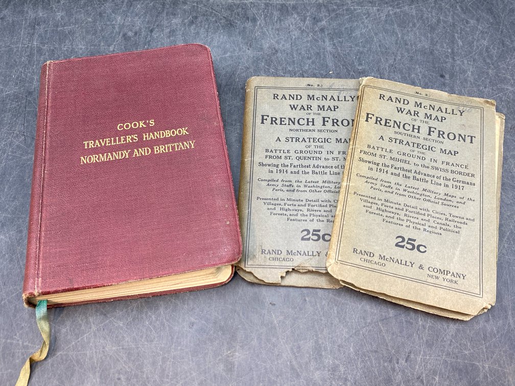
#324 • WWI Era and After France Travel Guides
Part of March 17th, 2026 Maps & Atlas Books (timed auction by Green Valley Auctions)
High bid $18.00
Status: SOLD
Lot of three. Consists of “Rand McNally War Map of the French Front” - Northern Section (Very good lithographic color, folds as issued, with virtually no fold separations. Original paper lettered wraps intact, with rear cover trimmed a bit at outer edge.) and Southern Section (Very good lithographic color, folds as issued, with virtually no fold separations (vertical cut extending approximately 7 inches lower map, without image loss, repaired verso with archival paper tape). Original paper lettered wraps intact.) Both Chicago: Rand McNally & Co., circa 1917 and measuring 30.5” x 20.5” and folding into 6” x 4” paper covers. Paper covers with minor losses; “The Traveller’s Handbook to Normandy & Britain” by Roy Elston. London: Simpkin, Marshall, Ltd., 1930. Small 8vo, 556pp generally VG w/ 16 printed color maps and plans as issued. Original binding, mild rubbing cover w/minimal page browning.