#373 • 1860s Western Canada Maps
Part of March 17th, 2026 Maps & Atlas Books (timed auction by Green Valley Auctions)
High bid $24.00
Status: SOLD
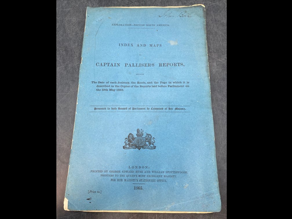
“Index to Captain [John] Palliser's Reports, showing the date of each journey, the route, and the page in which it is described in the copies of the reports laid before Parliament on the 19th May 1863.” London: Printed by George Edward Eyre and William Spottiswode, Printers to the Queen's Most Excellent Majesty, for Her Majesty's Stationery Office., 1865. This is just the index with the five folding maps, all very good, per consigner. The bluish-green paper covers are nearly separated at the spine, but generally clean and legible. There is a handwritten signature of Robert Bell, who was the director of the Geological Survey of Canada, a charter member of the Royal Society of Canada. Most maps done by John Arrowsmith, but the imprint on the maps is from Stanford's Geographical Establishment, London. 13” folio.