#409 • 18th c African Maps
Part of March 17th, 2026 Maps & Atlas Books (timed auction by Green Valley Auctions)
High bid $22.00
Status: SOLD
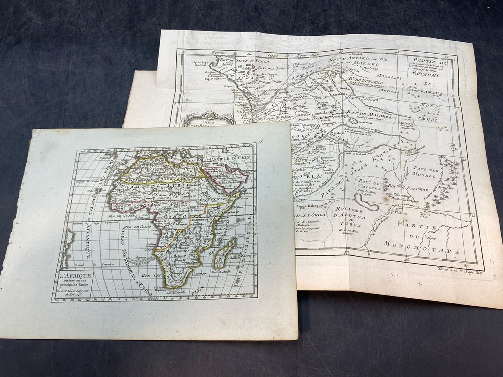
Lot of two. Consists of “L'Afrique Divisee en ses principales Parties” (De Vaugondy, circa 1748. G+ w/some minor soiling, hand colored outlines) and “Cartes des Royaumes de Congo, Angola, et Benguela” (Bellin, circa 1760. A nice, vg+ with minor soiling and foxing, b&w map.)