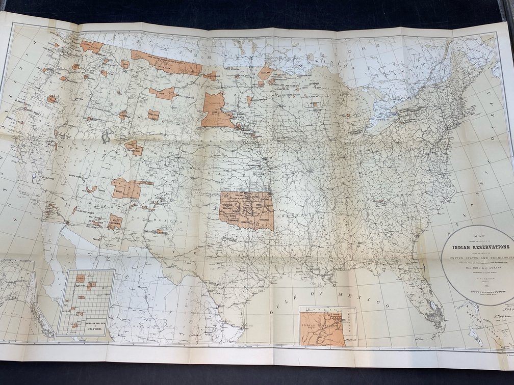
#436 • 1880s US Indian Reservations Map
Part of March 17th, 2026 Maps & Atlas Books (timed auction by Green Valley Auctions)
High bid $92.00
Status: SOLD
“Map Showing the Location of the Indian Reservations within the Limits of the United States and Territories. Compiled from...Authentic Sources, under the Direction of...John DC Atkins, Commissioner of Indian Affairs” by Paul Brodie, Draughtsman. N. Peters Photo-Lithographer, Washington DC, 1885. (actually printed within the Smithsonian Report mentioned below, and printed in 1886) Printed color. Minor tears repaired with archival tape. Printed within the “Annual Report of the Board of Regents of the Smithsonian to July, 1885 Part II” in 1886. Extremely detailed with divisional color for all existing Indian reservations, and all Indian Agencies marked. On heavy paper, with some fragility at the existing creases Image: 21” x 33.5”.