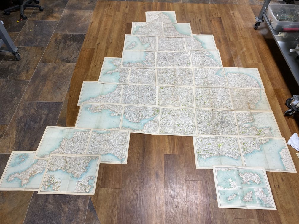
#457 • Turn-of-the-Century English Regional Maps
Part of March 17th, 2026 Maps & Atlas Books (timed auction by Green Valley Auctions)
High bid $6.00
Status: SOLD
30+ maps. Maps depict Middlesex, Canterbury, Barnstaple, Exeter. Brighton, and more. Join together to form England and Wales, missing two of the lower panels featuring Caulkhead and Pompey Islands From “The Royal Atlas of England and Wales” edited by J. G. Bartholomew. Circa 1898, per consigner. 110” x 100.